How GIS Can Be Beneficial to Small and Medium Airports

Pop quiz: What does a Geographic Information System (GIS) really do for airports?
Do you consider GIS to be an asset management tool? Do you think of it as an airport operations Part 139 inspection tool? Or do you see GIS as a database, an indoor mapping application, a web application, or a web dashboard?
If you answered yes to all of the above, then you are correct. You passed!
By definition, a Geographic Information System is a framework for gathering, managing, and analyzing data. You may also hear GIS referred to as geospatial technologies when grouped with Computer Aided Design (CAD) and Building Information Management (BIM).
Many large airports have one or more dedicated GIS staff, with GIS being leveraged daily by multiple departments, such as administration, planning and engineering, operations and maintenance. Across all of these areas, GIS streamlines processes and allows for increased efficiencies, leading to cost- and time-savings.
But what about your small- or medium-sized airport? Where do you start?
Small- and medium-sized airports may not have dedicated GIS or even Information Technology (IT) staff. The thought of GIS may be overwhelming when considering the potential cost and complexity of implementing and maintaining a GIS.
But by taking it one step at a time, small and medium airports can implement GIS and realize the value-added benefits without the process feeling overwhelming.
Start With a Plan
As the saying goes, “Rome wasn’t built in a day, but they were laying bricks every hour.” With that in mind, it is important to start small with achievable goals and grow as needed. Even larger airports did not get where they are with GIS (and other geospatial technologies such as CAD and BIM) overnight.
Airports should start by developing a geospatial plan or strategy that includes identifying needs, developing a business case, understanding the cost of implementing and maintaining a GIS, and an implementation timeline.
Find a Solution
A great way for an airport to get started with GIS is using a cloud-based solution, such as ArcGIS Online, offered by Esri. ArcGIS Online is a cost-effective, entry-level, cloud-based GIS platform that includes interactive mapping applications, dashboards, and mobile applications for airport maintenance and airport operations staff who collect data in the field.
An airport can start with as few as one user for minimal cost and grow with different user types (viewers, field workers, creators, etc.) over time, as needed. A benefit of using Esri’s GIS products is the included technical support Esri provides users, which prevents an airport from needing dedicated airport GIS staff if issues arise.
An airport can start by taking a few common tasks or processes and using GIS to streamline them by visualizing, analyzing, and managing the data spatially.
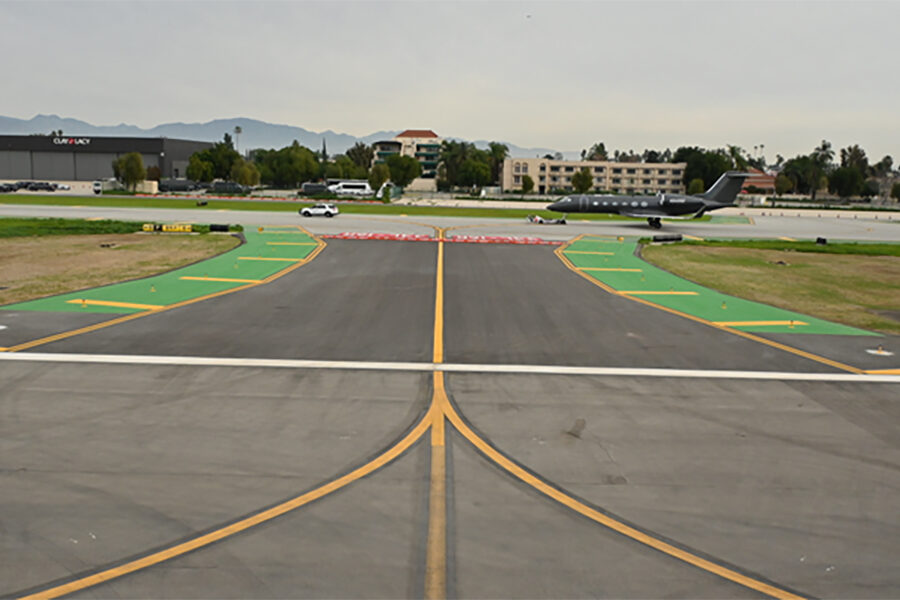
For example, a GIS may be used to manage daily Part 139 inspections using Survey123, an ArcGIS Online web and mobile application. This application allows airport operations staff to keep historical documentation and create work orders tied directly to airfield assets, such as lighting and markings.
The Part 139 inspection is a logical place to begin tracking and managing airfield conditions in a GIS. Over time, the GIS can evolve into an asset management and work order management system that streamlines these activities saving time, enhancing record keeping, and adding value.
Get the Help You Need
RS&H is a member of the Esri Partner Network, enabling our staff to provide airports of all sizes with advice and consulting around the value-added benefits of GIS and Esri solutions. RS&H staff help airports begin the process of using a GIS to streamline processes and manage everyday facility maintenance and data management tasks in an affordable and approachable manner.


No airport is too small to see the value of implementing a GIS, if it’s done right. RS&H’s GIS consultants help airports find the optimal solution including setting up the necessary hardware and training existing operations, maintenance, and management staff on the use of online and mobile tools to immediately realize the value of GIS.
If you want to learn more about how GIS can provide value for your airport, RS&H’s consulting team is ready to help identify the best solution to suit your operational needs and your budget. Please provide your name in the contact form below, and Rob Grotefend, GISP will reach out to discuss your optimal GIS solution.
Related Insights
John Lengel Jr., PE, ENV SP, Vice President and National Discipline Leader at RS&H, received the 2026 Florida Airports Council J. Bryan Cooper Vision Award. The award recognizes his leadership and lasting contributions to aviation environmental stewardship, sustainability, and resilience.

Mike Rudzinski, AIA, NCARB, explores the trends shaping the next generation of airports, from smarter wayfinding and wellness-focused spaces to advanced air mobility, and how innovative terminal design is creating better passenger experiences.
Growing in Lafayette, RS&H combines local connection with national expertise—supporting the community through partnerships, student engagement, and transformative work at Lafayette Regional Airport.
Upgrading critical taxiways at one of the world's busiest general aviation airports required careful planning, strong collaboration, and constant attention to construction safety. At Van Nuys Airport, RS&H delivered the upgrades while minimizing operational disruptions.