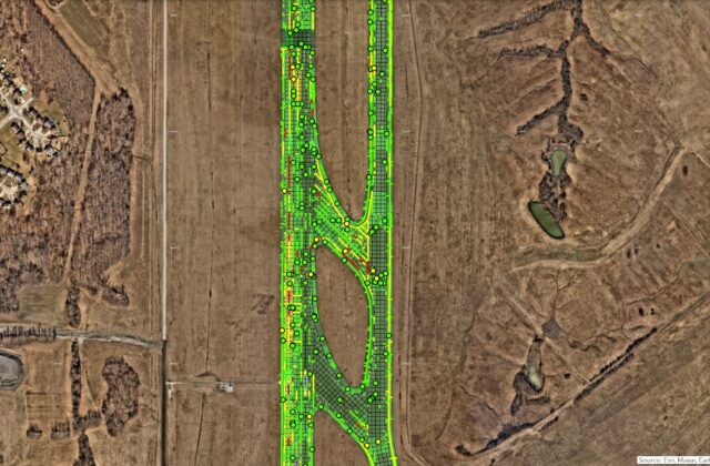
Geospatial Consulting

RS&H provides a broad range of GIS and Geospatial Consulting services and works with state and local governments as well as clients in the aviation, transportation, aerospace, construction, corporate, defense, environmental, and health & science industries.

RS&H is a Silver Partner in the Esri Partner Network and is recognized as both an ArcGIS System Ready Specialty Partner and a State and Local Government Specialty Partner. The ArcGIS System Ready Specialty designation recognizes partners who offer industry expertise with solutions, services or content using the latest ArcGIS products. As a partner in the ArcGIS System Ready Specialty, RS&H is recognized as a subject matter expert in staying current with the newest releases of Esri technology software.

The State and Local Government Specialty designation recognizes and endorses RS&H’s knowledge and expertise to develop and configure ready-to-use solutions as well as offer implementation services to city, state and local government clients. The achievement of this designation showcases our sustained commitment in supporting mapping and location requirements of both existing and new clients across all tiers of government.

Our Geospatial Consulting services include the following:

  • Business case development
  • Needs assessments
  • Geospatial awareness and incorporation into existing processes
  • System architecture and design
  • Geodatabase design
  • GIS standards development
  • Integration with existing systems/platforms
  • Paper maps/drawings to GIS
  • Design files (AutoCAD/MicroStation) to GIS
  • GIS data to Esri information models
  • GIS data to FAA airport GIS standards (FAA AC 150/5300-18B)
  • GIS data (shapefiles, file geodatabase) to Enterprise Geodatabase
  • ArcGIS Enterprise installation, setup, and configuration
  • ArcGIS Online setup and configuration
  • Web application development
  • Mobile application configuration and development
  • Development of GIS training programs
  • Hands-on training and video tutorial development
  • Aviation
    • Airport obstacle clearance surface development
    • Airport obstacle analysis
    • Airport pavement management distress collection and management
    • Airport project and Capital Improvement Program (CIP) management
    • Noise analysis
    • Public involvement / constituent engagement
  • Transportation
    • Land use planning
    • Mitigation bank mapping
    • Noise analysis
    • Public involvement / constituent engagement
    • Roadway feasibility analysis
    • Traffic analysis

Latest From Our Blog

Questions?

If you have questions, our team of experts is here to help.

Contact Us

Affiliates

Esri partner emblem
Esri Arc GIS Marketplace Provider emblem
Esri Arc GIS System Ready emblem
Esri state and local government emblem