Projects
Together, RS&H and DRBA are transforming regional aviation, creating a stronger foundation for economic growth and seamless travel experiences across Delaware and beyond.
HCAA collaborated with RS&H, a trusted partner for more than 20 years and the original designer of TPA’s iconic terminal in the 1960s. Together, we prepared a detailed Project Definition Document (PDD) to guide the expansion, ensuring the project aligns with HCAA’s bold aspirations for the airport’s future.
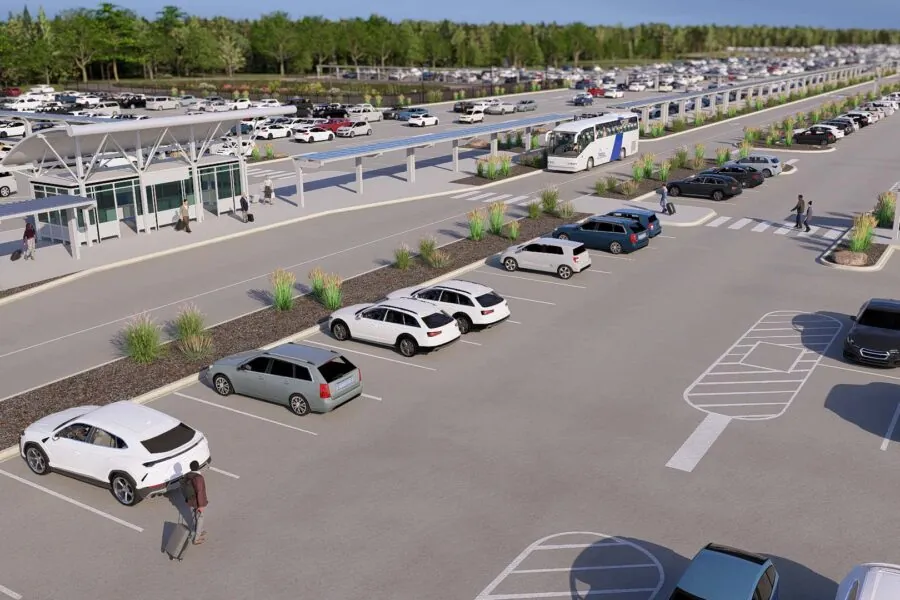
RS&H provides design and construction administration services for the RDU Park Economy 3 Expansion project, which nearly triples the parking capacity while enhancing environmental performance, sustainability and resilience as demonstrated by Envision Platinum verification and LEED certification.
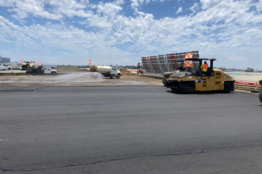
As the prime consultant and engineer of record, RS&H designed this critical extension, which adds approximately 2,300 feet of a new 75-foot-wide taxiway with 30-foot shoulders, resulting in dual parallel taxiways on the north airfield.
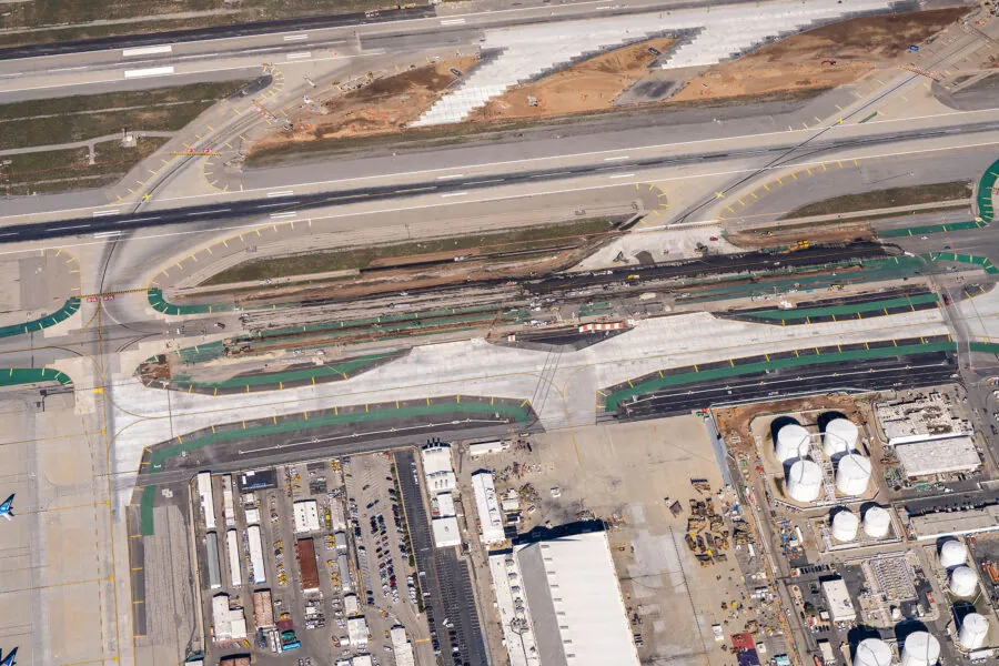
Partnering closely with Los Angeles World Airports (LAWA), we embarked on the critical task of reconstructing Taxilane C at Los Angeles International Airport (LAX), one of the busiest and most constrained airports in the world.
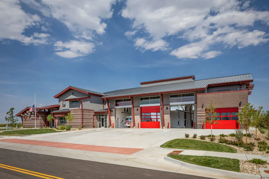
RS&H and the Aurora Fire Rescue teamed up to create facility assessments and prototypes for multiple fire stations throughout the city, inclusive of design and redesign, programming, concept developments, and cost estimation.
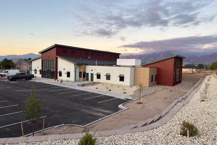
RS&H stepped in to support the modernization of key buildings and facilities, ensuring that Castle Rock remains well-equipped to meet the demands of its thriving community.

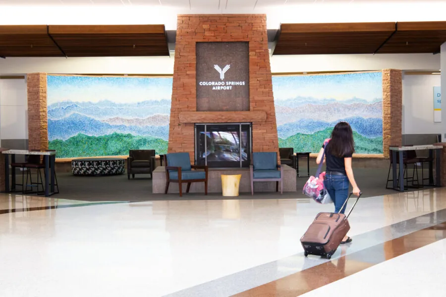
The airport worked with the design team to complete all main restrooms, ticketing, and car rental counters, and lower-level modernization.
Peaks Recovery Center, an inpatient rehab facility, desired to transform two residential homes, and an RV barn on 11 acres into a comprehensive campus for healing people with addiction and mental health challenges.
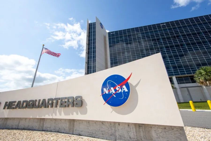
RS&H assisted NASA’s Kennedy Space Center by developing three Area Development Plans, a Center Development Plan, a Center Design Guide, and a Center Digest.
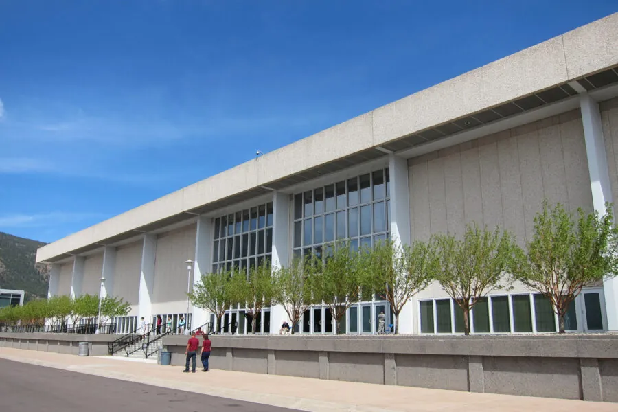
The Cadet Field House Renovation is an extensive update to an indoor athletic complex that was built in the late 1960s. It includes a basketball arena, an ice rink, and a multi-purpose room along with ample seating for spectators in each of the sports areas.
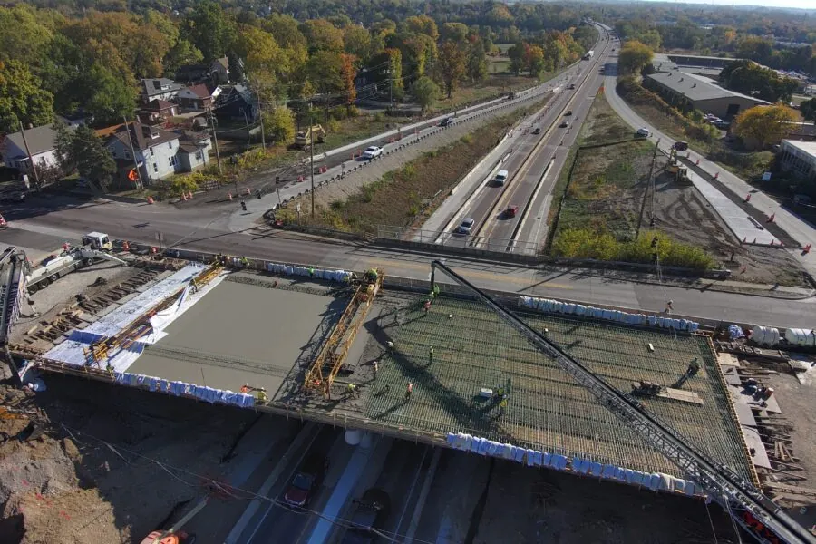
As part of IDOT’s long-term US 20 improvement plans, this project in Kane County, IL enhances safety and mobility for all modes of transportation while increasing the service life of US 20.