Projects
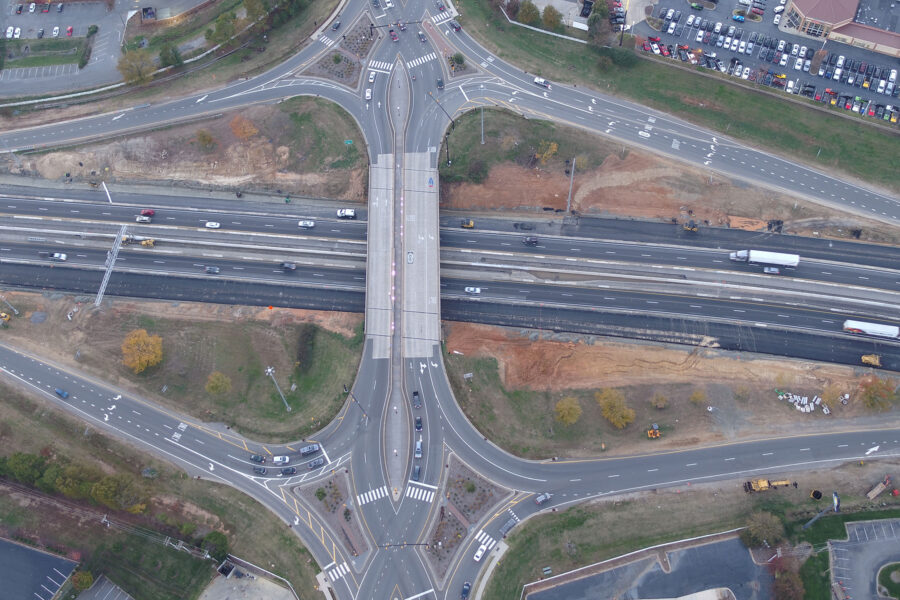
RS&H is providing on-call services for toll operations on the Triangle Expressway, Monroe Expressway, I-77 Express Lanes, and future tolled and managed lanes projects.
Our prior experience designing the Apollo-era and Space Shuttle mobile launch infrastructure informed the framework for stakeholder engagement to ensure accommodation of life safety, human factors, and coastal, launch, wind, and hazardous environments for the successful design of modifications to all structures and facilities.
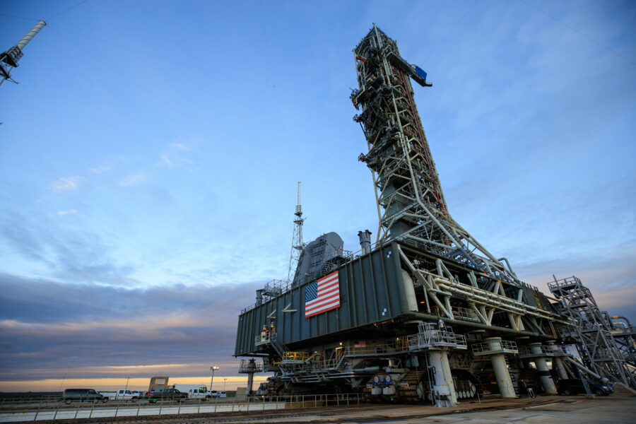
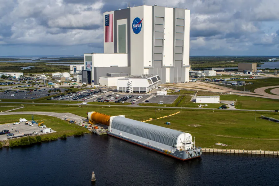
RS&H provided support to the Ground Systems Development and Operations Program through our design for upgrades to NASA’s iconic Vehicle Assembly Building (VAB) High Bay 3.
Not only does the medical center fit into the fabric of the community under development in the area, but the comprehensive number of services offered will hopefully alleviate some of the community’s anxiety that often accompanies the need to go to an urgent care facility.
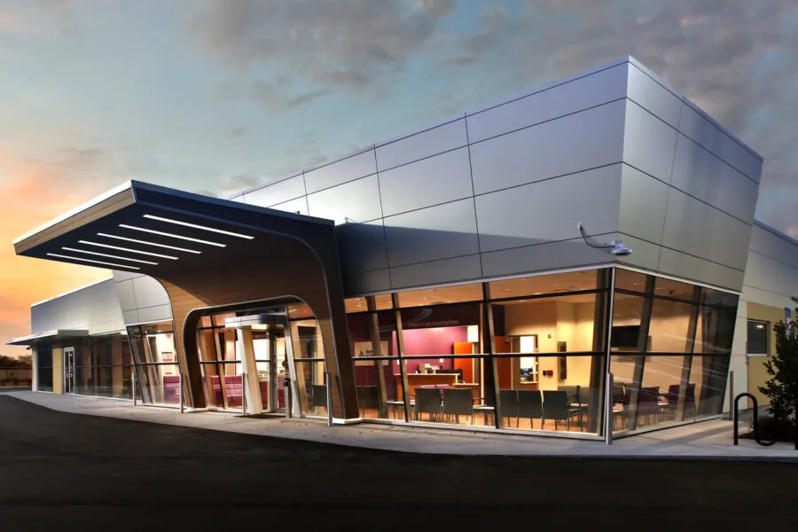
RS&H designers set out to deliver just what the doctors ordered. Utilizing the charm and sophistication already employed throughout the Nocatee community, the team created a seamless flow between exterior aesthetics and interior functionality.
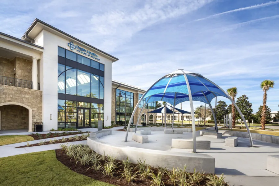
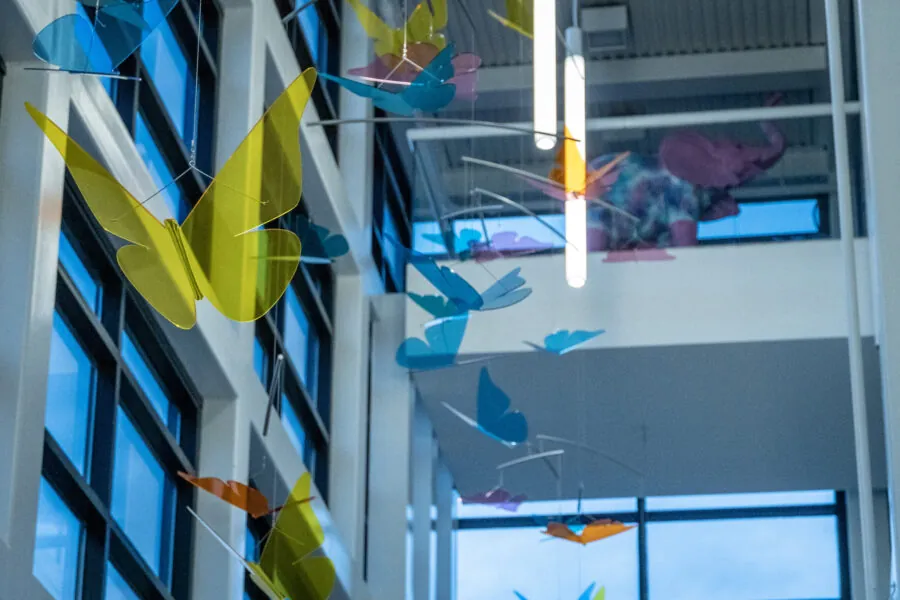
Hoping to reduce anxiety that often accompanies the need for healthcare, the Nemours Foundation sought to deliver a “feel good” environment from the moment their young patients and families first set foot in the Nemours Children’s Specialty Clinic in Jacksonville.
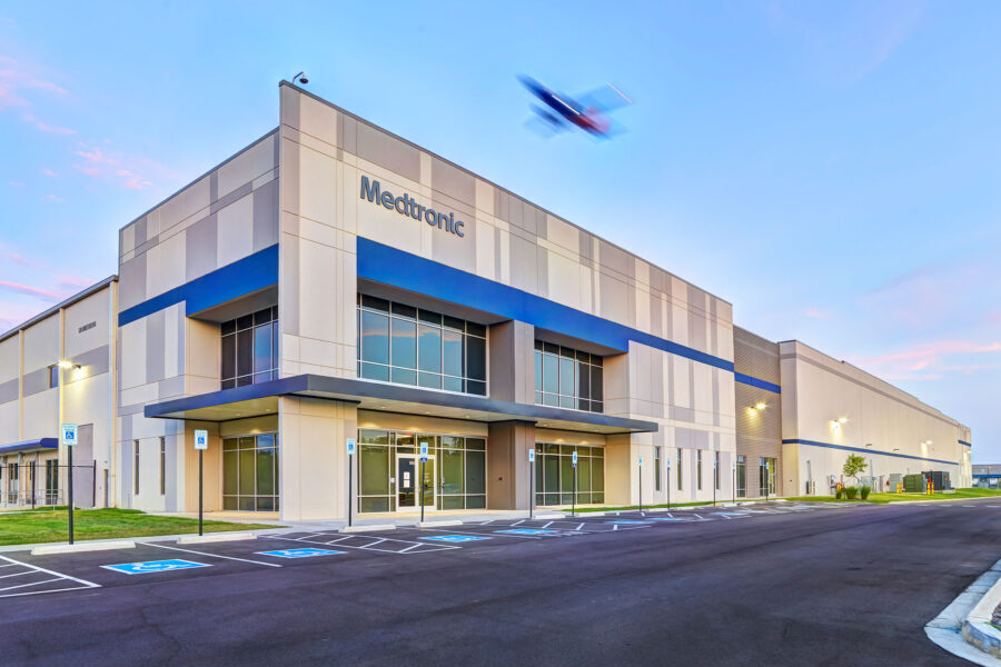
Medtronic is a leading healthcare technology company that focuses on technologies to treat over 70 health conditions in four areas: cardiovascular, diabetes, medical surgical, and neuroscience.
The project team provided an unmatched level of commitment, expertise, and experience crucial to the execution of this unique project in a condensed nine-month timeline. The entire team worked tirelessly to deliver this unique project and restore a vital transportation network to the city.
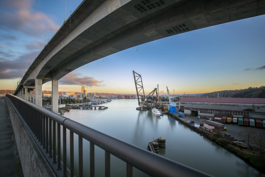
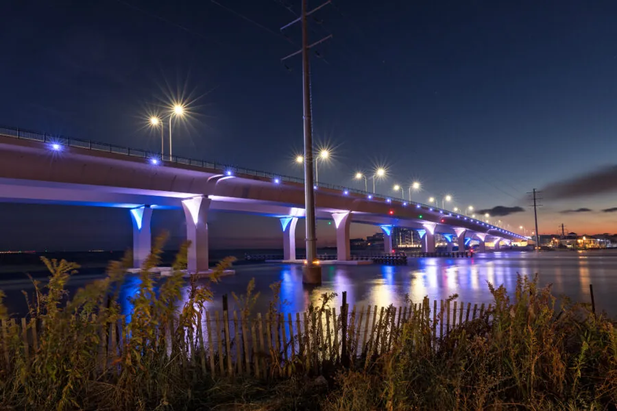
The Lesner Bridge is arguably Virginia Beach's signature bridge and boasts an average annual daily traffic (AADT) count of over 20,000 vehicles. The City of Virginia Beach set a goal to produce a bridge with a 100-year lifespan that incorporated new aesthetics and safety measures.
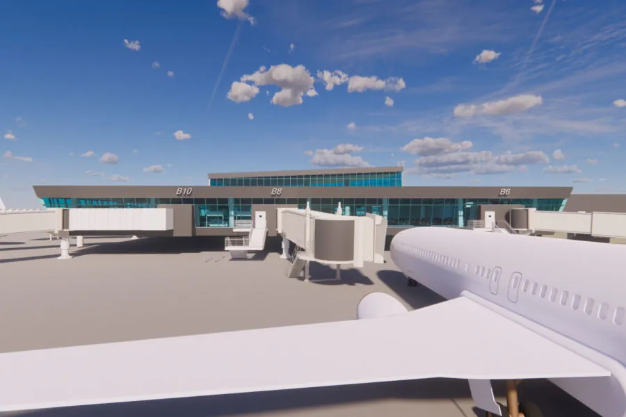
Designing the Concourse B expansion has been a fun and exciting project for the Department of Airports, as well as our designers and visualization specialists.
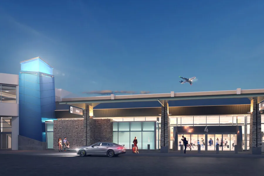
The Reno-Tahoe Airport Authority recently launched the MoreRNO program – a multi-phase initiative that will expand the Reno-Tahoe International Airport (RNO) to enhance the travel experience for passengers and improve overall operations at the airport.
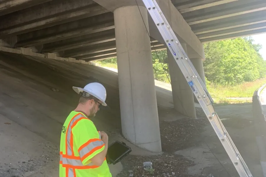
RS&H is currently providing routine bridge and culvert inspection and load rating for NCDOT on a statewide basis.